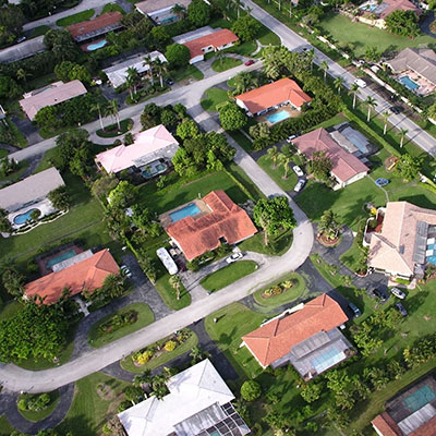
Byron Goetting founded GeoReserves in 2016 with the goal of providing the highest quality reserve studies available. By incorporating state-of-the-art Geographical Information System technology to create maps as visual aids, a much more accurate and understandable reserve study can be created.
Mr. Goetting has developed a complete, multi-step process that ensures a high degree of accuracy. This includes reviewing and summarizing the CC&Rs and other relevant documents, mapping out a complete inventory of all relevant components with visual aid references as well as a freely viewable and distributable webpage of your associations reserve components, and summarizing the financial data into readily accessible and easy to understand tables and forms.
GeoReserves was founded in 2016 with a simple premise: community managers, board members, and other decision makers need accurate and easy-to-read reports in order to set a proper reserve budget. These days, more reserve analysts are cutting corners and no longer taking a proper inventory, not doing the necessary research, or have unorganized reports that don’t properly show the funding plan recommendations. GeoReserves has already garnered repeat clients in Nevada, Arizona, and Utah and is consistently praised for having the information presented clearly and using maps as visual aids to help show accurate measurements.


Typical reserve studies lock an association into constantly increasing the amount contributed to the reserve account each year. While this may sound good in theory, most associations typically only increase their assessments every two or three years. GeoReserves’ custom software allows for increases to the reserve contribution on custom schedules that meet each association’s needs.
No other reserve analyst in America uses the custom Geographic Information Software (GIS) designed for mapping association components, taking pictures, and capturing location-specific notes and information. This service is typically utilized for large associations such as master-planned communities, contact GeoReserves for additional information.
